

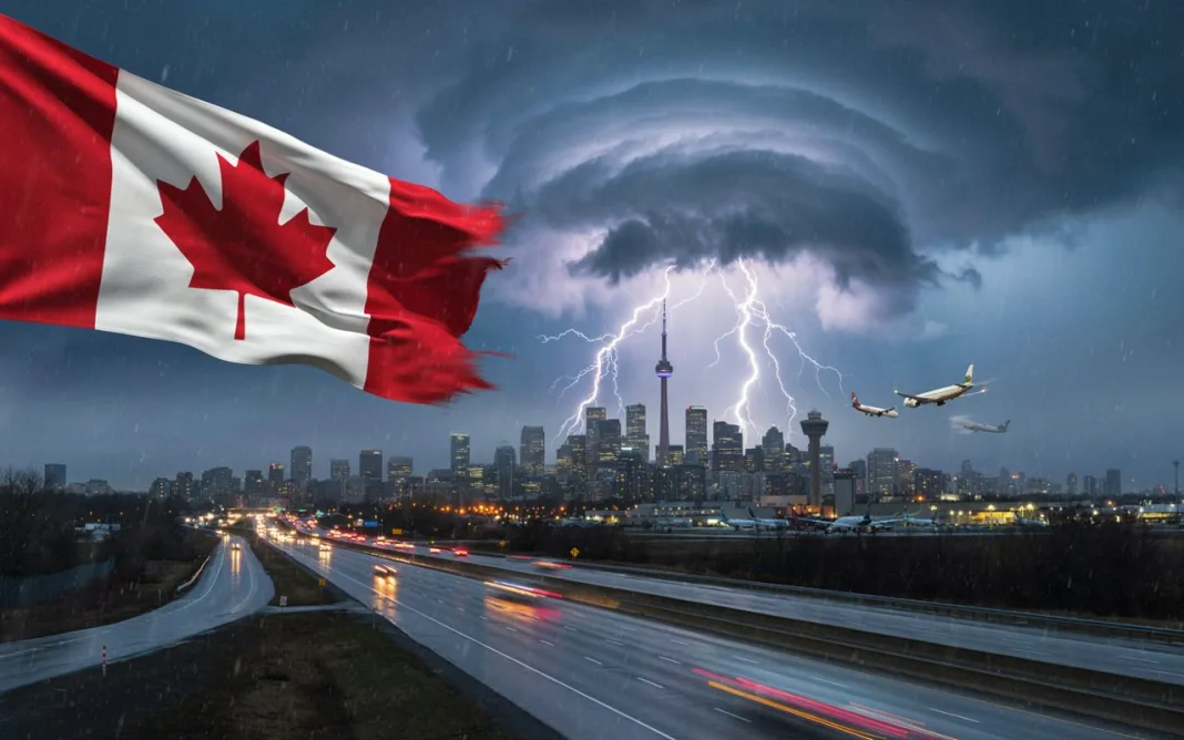


Image generated with Ai
Toronto, Mississauga and more Canadian cities face a severe thunderstorm threat. As dangerous weather intensifies, travellers and residents must act quickly, check alerts and prepare for disruption.
Toronto and Mississauga are among more Canadian cities facing a severe thunderstorm threat as dangerous weather conditions intensify. Meanwhile, powerful storms could bring damaging winds, large hail, torrential rain and hazardous travel conditions. As a result, residents and visitors should closely monitor official alerts before heading outdoors. Moreover, airports, roads, rail services and tourism attractions could experience disruption if storms strengthen. Toronto remains particularly important because the city connects travellers with destinations across the Greater Toronto Area and southern Ontario. Therefore, checking weather warnings, transport updates and local safety advice is essential. The developing conditions underline how quickly summer weather can change across Canada.
The cause is a volatile weather pattern capable of producing rapidly developing thunderstorms across southern Ontario. As warm and humid air interacts with changing atmospheric conditions, storms can strengthen quickly and create dangerous localised weather. The answer for travellers is preparation: check Environment and Climate Change Canada alerts, confirm transport schedules and postpone exposed outdoor activities when warnings are active. The reason is simple. Severe thunderstorms can produce lightning, destructive winds, hail, flooding and sudden visibility problems within minutes. Consequently, Toronto, Mississauga and more Canadian cities could experience temporary travel disruption, making timely information and sensible decisions especially important for residents and visitors.
Toronto and GTA under growing severe-weather threat
Toronto and communities across the Greater Toronto Area are facing a period of potentially dangerous summer weather as severe thunderstorms develop and move across southern Ontario. The storm threat includes damaging winds, large hail, torrential rainfall and, in some areas, the possibility of tornadoes.
Environment and Climate Change Canada has been the principal source for the weather alerts, with conditions changing quickly as thunderstorms develop. The situation is particularly important for travellers because Toronto and the surrounding region form one of Canada’s busiest transport and tourism corridors.
For visitors, the concern is not simply whether it will rain. Powerful thunderstorms can disrupt flights, delay trains, slow road traffic, interrupt sightseeing and create sudden flooding in urban areas.
The following city-by-city breakdown explains where the weather threat matters most and what travellers should know.
Canadian city-wise severe-weather picture
The key point is that the situation escalated rapidly from orange severe-thunderstorm watches to red severe-thunderstorm warnings in several parts of the Greater Toronto Area and southern Ontario.
| City / area | Alert situation | Main threat |
|---|---|---|
| Toronto | Orange watch, later red warning | Destructive winds, large hail, torrential rain, tornado risk |
| Mississauga | Orange watch; red warning during storm | Destructive winds, hail, heavy rain |
| Brampton | Orange watch; severe-thunderstorm warning | Strong winds, hail, heavy rain |
| Vaughan | Orange watch / later warning | Strong winds, hail, torrential rain |
| Richmond Hill | Orange watch / later warning | Severe thunderstorms, damaging winds |
| Markham | Orange watch / later warning | Strong winds, hail and heavy rain |
| Hamilton | Orange watch; red warning | Destructive winds, large hail, heavy rain |
| Burlington | Red severe-thunderstorm warning | Destructive winds and large hail |
| Oakville | Red warning | Destructive winds, hail and heavy rain |
| Milton | Red warning | Destructive winds and heavy rain |
| Halton Hills | Red warning | Severe thunderstorms and damaging winds |
| Kitchener | Red warning | Destructive winds, large hail and heavy rain |
| Cambridge | Red warning | Destructive winds and hail |
| Guelph | Red warning | Severe thunderstorms and damaging winds |
| Barrie | Severe-thunderstorm watch earlier in the event | Strong winds, hail and heavy rain |
| Newmarket | Orange watch earlier; warning later | Strong winds, hail and torrential rain |
| Georgina | Orange watch earlier | Severe thunderstorms |
| Niagara / St Catharines | Orange watch; red warning in parts | Severe thunderstorms, damaging winds and hail |
| Brantford | Orange watch; red warning | Destructive winds and large hail |
| London | Orange watch / severe warning during storm | Strong winds, hail and torrential rain |
| Woodstock | Orange watch; red warning later | Destructive winds and large hail |
| Stratford | Orange watch; red warning later | Destructive winds and hail |
| Belleville | Orange watch | Severe thunderstorms, heavy rain and wind |
| Peterborough | Orange watch | Strong winds, hail and torrential rain |
| Kingston-area | Watch conditions | Severe thunderstorm potential |
Toronto
Toronto is at the centre of the severe-weather situation.
Thunderstorms developing around the city can produce sudden downpours, powerful wind gusts and hail. The combination creates risks for people outdoors, particularly visitors walking around downtown, attending attractions or travelling between neighbourhoods.
Toronto’s extensive road network can also become congested quickly during severe weather. Water accumulating on roads may reduce visibility and increase journey times, while falling branches and debris can create additional hazards.
Travellers should reconsider outdoor activities during the most intense part of a storm and check transport and flight information before leaving their accommodation.
Mississauga
Mississauga faces an important combination of weather and travel risks because of its proximity to Toronto Pearson International Airport.
Severe thunderstorms can affect airport operations even when an airport itself is not directly struck by the worst weather. Lightning, strong winds and reduced visibility can lead to delays, ground stops and changes to aircraft movements.
Travellers flying through Pearson should therefore allow additional time and check directly with their airline before travelling to the airport.
Outside the airport area, heavy rainfall could create difficult driving conditions on major roads serving Mississauga and the western GTA.
Brampton
Brampton is also exposed to the severe-thunderstorm threat moving through the GTA.
Strong winds and hail can arrive rapidly, making conditions hazardous for motorists and pedestrians. Heavy rain can reduce visibility within minutes, particularly during the afternoon and evening commute.
Visitors staying in Brampton should avoid unnecessary outdoor travel when thunderstorms are overhead and seek shelter inside a substantial building.
The city’s connection with Pearson Airport also means weather-related disruption in the wider western GTA can have knock-on effects for air travellers.
Vaughan
Vaughan, north of Toronto, is another major urban centre within the storm-affected region.
The city’s extensive highway network, shopping districts and attractions mean large numbers of people can be travelling when storms arrive. Sudden rainfall and strong winds may make driving particularly difficult.
Travellers heading towards Canada’s Wonderland or other outdoor attractions should check operating conditions before setting out and should not remain outdoors when lightning is present.
Richmond Hill
Richmond Hill and the surrounding York Region can experience the same fast-moving thunderstorm cells affecting Toronto and the northern GTA.
For travellers, the principal concerns are strong winds, hail, heavy rain and rapidly changing road conditions.
Urban flooding can also become an issue during intense rainfall, particularly where drainage systems temporarily struggle to handle large volumes of water.
Markham
Markham is another major GTA destination where thunderstorms could affect both local movement and regional travel.
Business travellers, visitors and commuters should expect the possibility of slower journeys during periods of intense rain.
Large hail can also damage vehicles and create dangerous conditions on exposed roads.
Anyone driving through Markham should reduce speed, increase following distance and avoid stopping beneath trees where falling branches could pose a risk.
Hamilton
Hamilton is among the southern Ontario communities facing a significant severe-weather threat.
The city’s position west of Toronto places it along important travel routes connecting the GTA with Niagara and other parts of Ontario.
Thunderstorms bringing damaging winds, hail and heavy rainfall could therefore have wider consequences for regional road travel.
Travellers should pay particular attention to changing conditions when using the Queen Elizabeth Way and other major routes.
Burlington
Burlington can be particularly vulnerable to disruption because it sits at a key transport point between Hamilton and the western GTA.
Severe thunderstorms may produce strong winds, heavy rainfall and hail, while poor visibility can make highway travel hazardous.
Visitors planning to travel between Toronto, Hamilton and Niagara should check conditions before departure rather than assuming the journey will remain normal throughout the day.
Oakville
Oakville is also exposed to severe thunderstorms moving across the western GTA.
The community’s waterfront location makes outdoor activities particularly vulnerable when lightning and strong winds develop.
Boating and other water-based activities should be avoided when thunderstorms are approaching. Travellers should move indoors and follow official warnings rather than attempting to wait out a storm near the waterfront.
Milton
Milton and Halton Region can experience rapidly developing thunderstorms capable of producing heavy rain and damaging wind gusts.
For motorists, sudden reductions in visibility are among the most immediate concerns.
Travellers driving between Milton and the GTA should monitor weather alerts before departure and be prepared for changing conditions.
Kitchener, Waterloo and Cambridge
The Kitchener-Waterloo and Cambridge area is also part of the wider southern Ontario severe-weather picture.
Thunderstorms can disrupt road travel, local events and outdoor tourism. Hail and strong winds may create particularly difficult conditions for drivers.
The region’s location on major routes between the GTA and southwestern Ontario means disruption can extend beyond individual cities.
Guelph
Guelph is another city where severe thunderstorms may bring heavy rain, lightning, hail and strong winds.
Travellers visiting the city should avoid exposed outdoor locations during the strongest storms.
Heavy rainfall can also make rural roads surrounding Guelph more difficult to navigate, particularly where visibility drops quickly.
Barrie
Barrie and areas north of the GTA have also faced severe-thunderstorm potential.
The city’s proximity to Lake Simcoe makes it an important summer leisure destination, but severe weather can quickly change conditions for boaters, campers and visitors enjoying outdoor attractions.
Anyone on or near the water should move to a secure location as soon as thunderstorms approach.
Newmarket and York Region
Newmarket and surrounding York Region communities can experience severe storms moving east or south-east from areas north and west of Toronto.
Heavy rain, hail and strong winds could affect local travel and outdoor activities.
Visitors should keep mobile weather alerts active because thunderstorm conditions can change much faster than conventional daily forecasts suggest.
Niagara and St Catharines
Niagara is particularly significant for tourism because the region attracts visitors to Niagara Falls, wineries, parks and outdoor attractions throughout the summer.
Severe thunderstorms can temporarily disrupt sightseeing, particularly around exposed waterfront areas.
Travellers should take lightning warnings seriously and move indoors when storms approach. Heavy rainfall can also affect roads leading into and out of the Niagara region.
Visitors planning a Toronto-Niagara day trip should check conditions at both ends of the journey before setting off.
Brantford
Brantford and nearby communities face the possibility of strong thunderstorms as the weather system crosses southern Ontario.
The principal hazards include damaging winds, hail and heavy rainfall.
Drivers should avoid unnecessary journeys during the peak of the storm and should never attempt to drive through flooded sections of road.
London
London, Ontario, can also be affected as severe thunderstorms travel through southwestern Ontario.
For travellers, strong winds and heavy rainfall can disrupt road travel and outdoor plans.
Visitors should monitor official alerts and avoid parks, open fields and other exposed locations during lightning activity.
Woodstock and Stratford
Woodstock and Stratford sit along important travel corridors through southwestern Ontario.
Severe thunderstorms in these areas can create temporary disruption for motorists travelling between London, Kitchener, Hamilton and the GTA.
Heavy rain may arrive suddenly, making it important for drivers to slow down rather than continue at normal motorway speeds.
Belleville and Peterborough
The storm threat also extends towards eastern Ontario, including areas around Belleville and Peterborough.
These destinations are popular with leisure travellers because of their lakes, waterways and outdoor attractions. However, thunderstorms pose a particular risk to people near open water.
Boaters, campers and hikers should have a clear shelter plan before severe weather arrives.
Kingston
Kingston and surrounding eastern Ontario communities may also experience thunderstorm activity as the weather system progresses eastward.
Visitors should monitor Environment Canada’s alerts, particularly if travelling by road from Toronto towards eastern Ontario.
Conditions can deteriorate quickly, meaning a journey that begins under sunny skies may encounter severe weather farther along the route.
What this means for travellers
The biggest travel lesson from the current weather pattern is that conditions can change rapidly across southern Ontario.
Travellers should not rely solely on the forecast they checked several hours earlier. Severe-thunderstorm alerts can be upgraded as storms become more organised or move into populated areas.
People flying from Toronto Pearson or Billy Bishop should check their airline’s latest flight information. Those travelling by train or bus should also verify schedules before heading to stations.
Drivers should avoid flooded roads, reduce speed in heavy rain and stay away from trees, utility lines and exposed structures during strong winds.
For tourists, attractions can wait. Lightning, destructive winds and large hail are not conditions in which to continue sightseeing simply because an itinerary has already been booked.
Why southern Ontario’s weather matters to tourism
Toronto is Canada’s largest urban tourism gateway, while the GTA connects major destinations including Niagara, Hamilton, Muskoka and southwestern Ontario.
Severe weather therefore has consequences beyond the immediate storm zone. A thunderstorm can affect airport operations in Mississauga, highway traffic around Toronto, sightseeing in Niagara and outdoor recreation around Lake Simcoe within the same broad weather event.
That interconnected travel network makes official weather monitoring particularly important during periods of atmospheric instability.
The severe-thunderstorm threat across Toronto, the GTA and wider southern Ontario demonstrates how quickly summer weather can turn disruptive. Toronto, Mississauga, Brampton, Vaughan, Hamilton, Burlington, Oakville, Milton, Kitchener, Cambridge, Guelph, Barrie, Niagara, London and eastern Ontario communities are all part of a broader weather picture that can bring damaging winds, large hail, torrential rainfall and isolated tornado potential.
For travellers, the safest approach is straightforward: check official alerts, confirm transport before departure, avoid exposed locations during thunderstorms and postpone non-essential outdoor activities when severe weather warnings are active.
The most important source for changing alert status remains Environment and Climate Change Canada. Travellers should use its latest warnings rather than relying on an earlier watch or forecast, because severe-weather conditions and alert levels can change rapidly.
Advertisement
Advertisement